Total datasets:
Category Filters: No Filters applied
Geometry Type Filters: No Filters applied
No results found
Welcome to the NSPIT Data Portal!
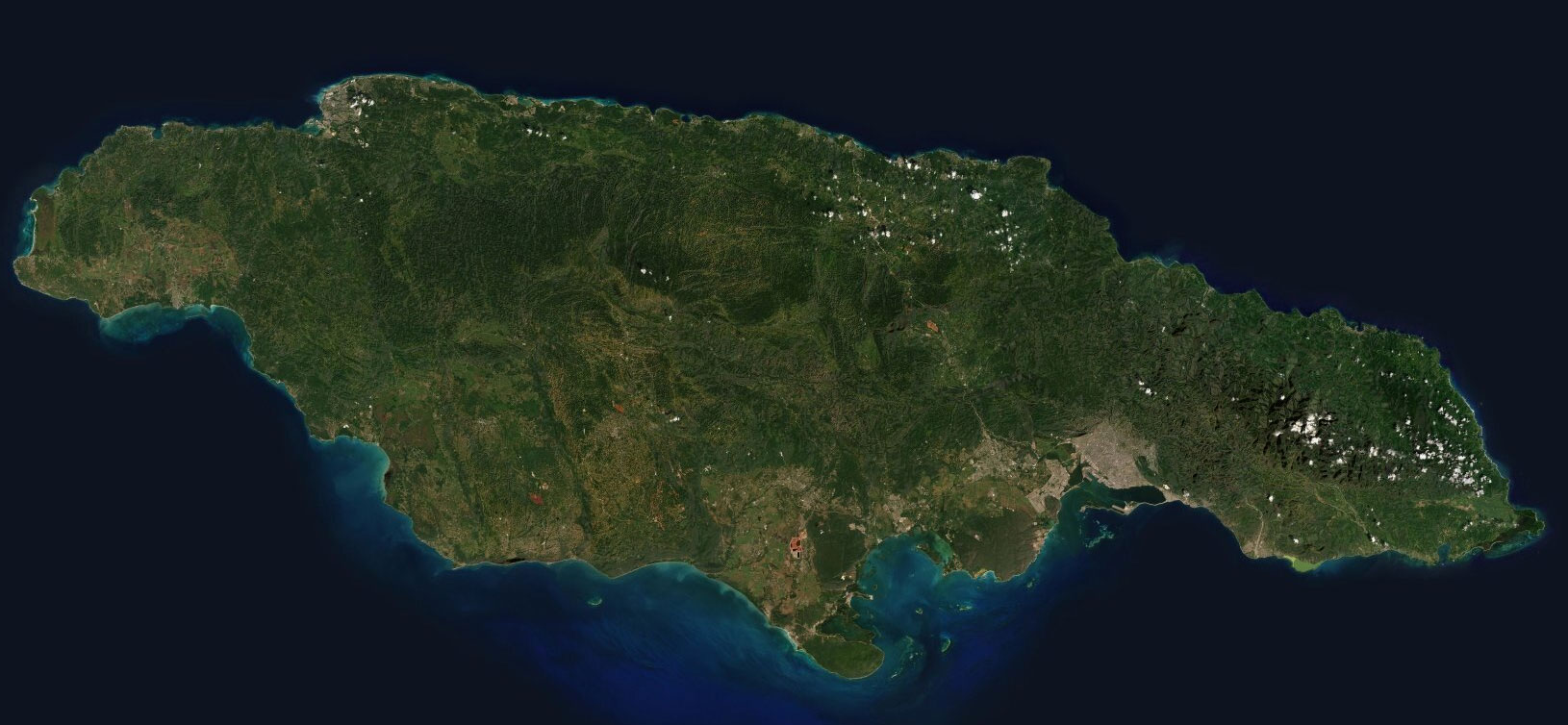
NSPIT is the National Spatial Planning Information Technology Platform of Jamaica.
Here you get an overview of the different data in the NSPIT Platform as well as further information about these data (metadata). You can use various filter and search functions with which you can search for existing data. Many datasets include a WFS link for downloading the data.
Total datasets:
Category Filters: No Filters applied
Geometry Type Filters: No Filters applied
The National Spatial Planning Information Technology (NSPIT) Platform functions as Jamaica's spatial data infrastructure to improve decision making in planning and national development, providing government agencies, educational institutions, the private sector, and citizens access to Jamaica's spatial data. The system will also connect to other infrastructures that are important to investors and government agencies in Jamaica.
Metadata plays an important role in the NSPIT Platform because it informs users about the quality, currency, origin and legal limitations of the data they consume. For this purpose the NSPIT Data Portal was created, allowing you to access the metadata of each layer that is displayed in the NSPIT Viewer. The Portal is also used as a central hub to download data that is available in the NSPIT Viewer. Downloads are made available by data transfer through the WFS standard. If download capabilities have been enabled for a specific dataset, the data page’s NSPIT tab will display a WFS Data URI.
The Portal allows you to search for data by entering a dataset's title or by using one or more of the predefined filters.
